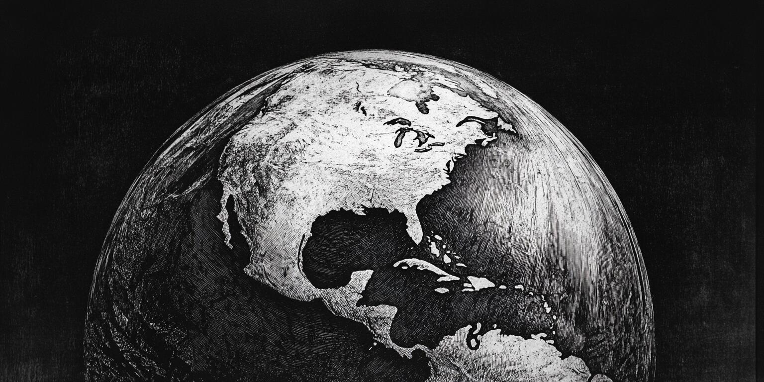
The strongest case for a globe Earth is not one photograph or one institution. It is the agreement among many independent measurements made by sailors, surveyors, astronomers, radio operators, engineers, travelers, and ordinary people.
A useful model must explain all of them with one geometry. Here are sixteen checks, including several you can perform yourself.
1. Measure shadows in two places
Eratosthenes' method still works. Place vertical sticks at two locations separated mainly north to south, measure their noon shadows on the same day, and compare the angles. With the distance between locations, the angular difference estimates Earth's circumference.
A flat model must add a nearby Sun and still explain why the inferred geometry stays consistent across many locations and seasons.
2. Watch a ship cross the horizon
A receding ship disappears hull-first. Increasing your viewing height reveals more of the lower portion because the horizon moves farther away. Atmospheric refraction can shift the exact appearance, so repeat the observation under different conditions.
Perspective alone makes an object smaller; it does not normally hide the bottom behind a measurable horizon.
3. Compare the night sky north and south
In northern latitudes, stars circle the north celestial pole. In southern latitudes, observers see a different celestial pole and opposite apparent rotation. The elevation of the pole also changes with latitude.
A globe with observers facing outward in different directions predicts this naturally.
4. Track Polaris with latitude
Polaris appears approximately as many degrees above the northern horizon as the observer's northern latitude. Travel south and it descends; cross far enough into the Southern Hemisphere and it disappears below the horizon.
This is a practical navigation relationship, not only a classroom diagram.
5. Observe Earth's shadow during a lunar eclipse
During a lunar eclipse, Earth's shadow on the Moon is curved. A sphere casts a circular shadow from every orientation. Eclipse times and paths can be predicted years in advance from the same orbital model.
6. Follow a solar eclipse path
A solar eclipse is visible along a narrow moving path because the Moon's shadow crosses a rotating globe. Observers separated by distance see different phases and timings that match spherical geometry.
Record predictions before the event, then compare them with local observation.
7. Watch sunset twice
Observe sunset at ground level, then quickly rise in a tall building or on a hill. The Sun can reappear briefly because the higher horizon is farther away. The amount depends on height and atmospheric refraction.
8. Measure the geometric horizon
The distance to the horizon grows roughly with the square root of observer height. Surveyors and radio planners account for this relation. Measurements need refraction corrections, but no arbitrary perspective rule is required.
9. Test line-of-sight radio range
VHF and microwave links are strongly affected by the radio horizon. Raising antennas increases range because it extends line of sight over curvature. Engineers also include atmospheric refraction through an effective-Earth-radius model.
If you operate radios, compare predicted and measured paths at different antenna heights.
10. Compare time zones and solar noon
At the same instant, different longitudes experience sunrise, noon, sunset, and night. Solar noon moves predictably with longitude. A rotating globe illuminated by a distant Sun explains the continuous pattern and changing day length.
11. Observe the midnight Sun
Inside the Arctic or Antarctic circles, the Sun can remain above the horizon for twenty-four hours in local summer. The phenomenon reverses between poles six months apart and varies with latitude exactly as axial tilt predicts.
Antarctic observations are especially difficult for common flat maps to reproduce while preserving distances and directions.
12. Check long-distance flight and sailing routes
Great-circle routes are the shortest paths on a sphere. They can look curved on a rectangular map because every flat projection distorts some combination of area, distance, direction, or shape.
Compare real travel times and routes across both hemispheres with distances calculated on a globe.
13. Circumnavigate east-west and north-south
People and vehicles can continue east or west and return to the starting region. More demanding north-south routes have also crossed both polar regions. The same global coordinate system describes the complete journey.
14. Use gravity and sea level correctly
“Level” means perpendicular to the local direction of gravity, not parallel to one infinite plane. On a massive nearly spherical Earth, local vertical directions converge toward the center of mass.
Precision surveying already applies curvature, gravity variation, and geoid corrections.
15. Verify satellites independently
You can predict and observe passes of the International Space Station and many satellites. Amateur radio operators receive satellite signals; observers photograph transits; laser-ranging stations measure orbital distances; GPS receivers solve timing equations from multiple satellites.
The system is independently observable and quantitatively useful.
16. Build a weather-balloon or amateur experiment
A high-altitude camera can show a broad horizon, but lenses can distort it. Calibrate the lens, keep the horizon through the frame center, record altitude, and compare the image with predicted curvature. Better yet, combine imaging with shadow, radio, and position measurements.
One experiment can be ambiguous. Multiple independent methods are harder to dismiss together.
How to compare models honestly
Before running a test:
- write the globe prediction;
- write the alternative prediction;
- specify measurement uncertainty;
- control for refraction, lens distortion, terrain, and clock error;
- preserve raw data;
- let someone else repeat it.
The globe model is compelling because the same size and shape explain astronomy, navigation, surveying, radio, orbital mechanics, and ordinary observation. A competing model must provide one coherent quantitative map that does the same.
Ridicule rarely changes a mind. A repeatable measurement sometimes can.